Our Community and Electorate Map


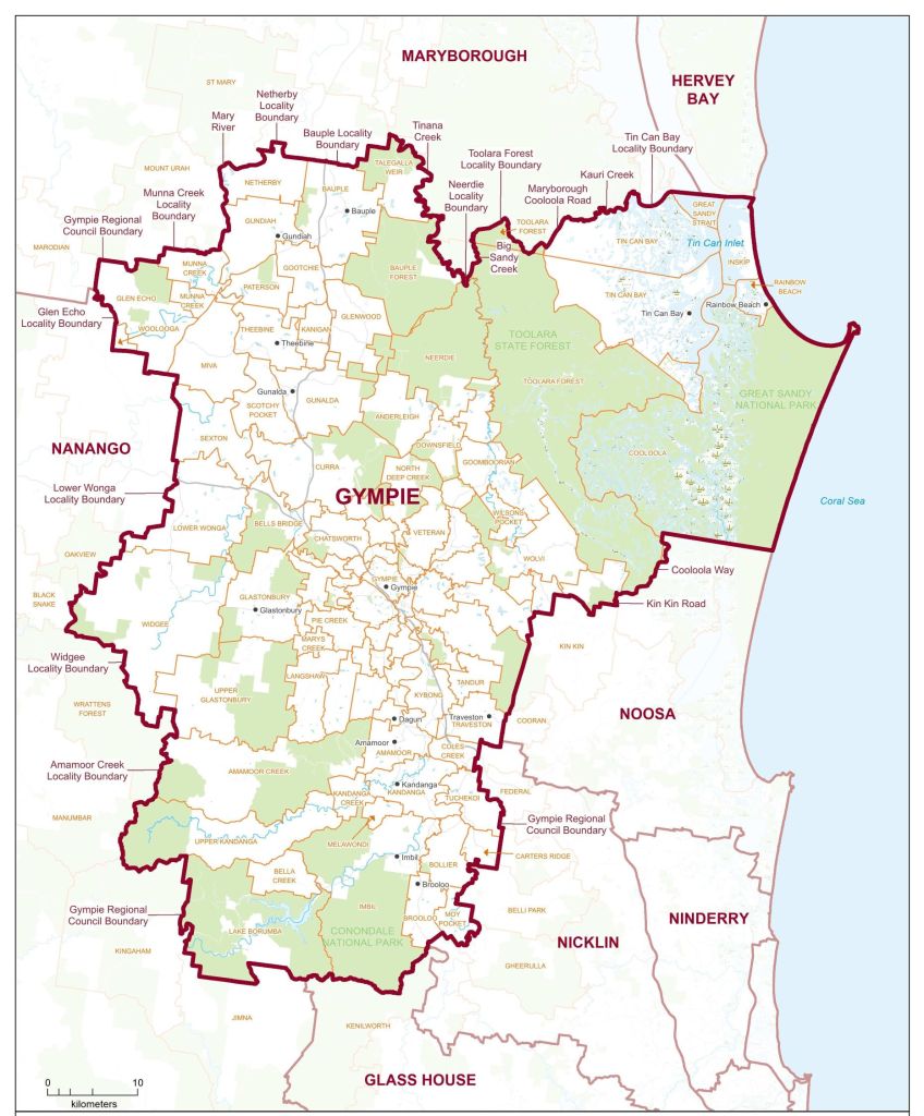
The Gympie electorate is located in South East Queensland and reaches from the beautiful beaches of Cooloola Cove in the east to Lower Wonga and Widgee in the west to the lush Mary Valley and Lake Borumba in the south and to Bauple in the north. At the centre of the electorate is the heritage town of Gympie. The electorate sits within the federal electorate of Wide Bay and covers 6,898 square kilometers and at the 2021 census had a population of 54,257.
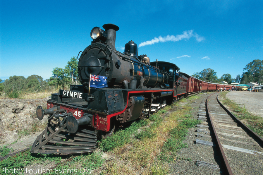
Gold was discovered in Gympie in 1867 and the pioneering spirit lives on in our community to this day. The region now has a strong agricultural economy and well- developed industries in beef, dairy, livestock and horticulture.
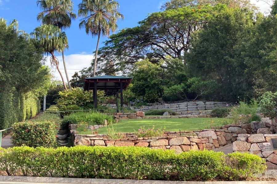
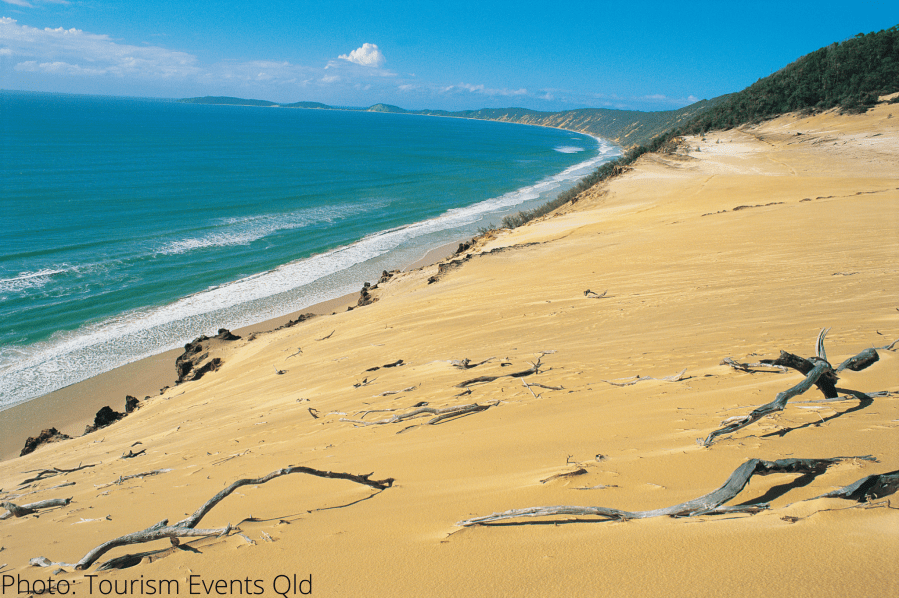
The Gympie region is home to unspoiled coastlines, majestic hinterlands, rolling hills and stunning nature all around us incorporating national parks, The Great Sandy National Park, Wrattens, Conondale and Woodnum National Parks.
Electorate Map of Gympie
Wide Bay Electorate Map
The State Gympie electorate sits within the federal electorate of Wide Bay. The Gympie Labor branch provides grass roots support and assistance to the Wide Bay campaign during the federal elections. This map of the Wide Bay Electorate.

